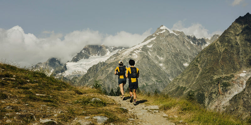
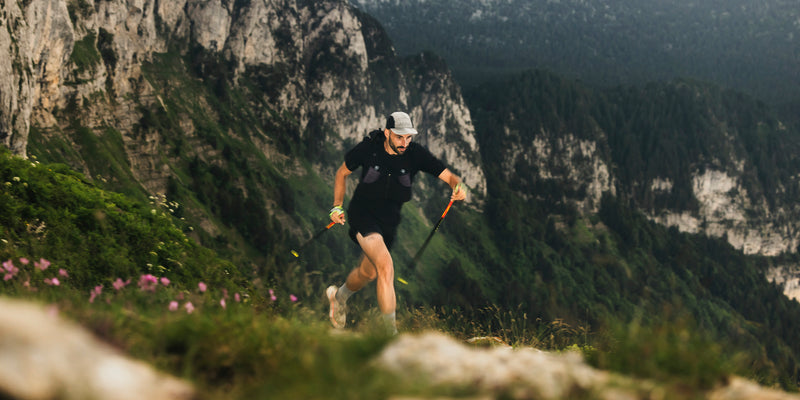
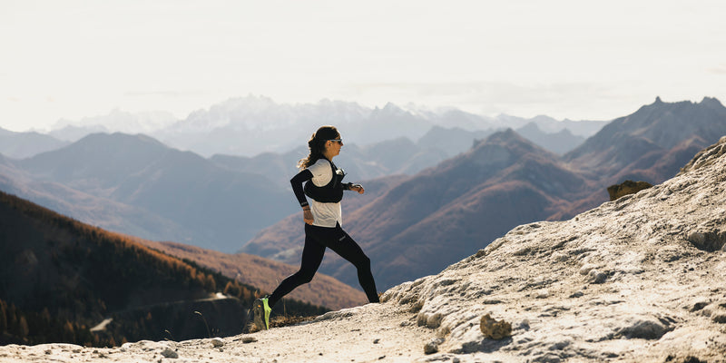
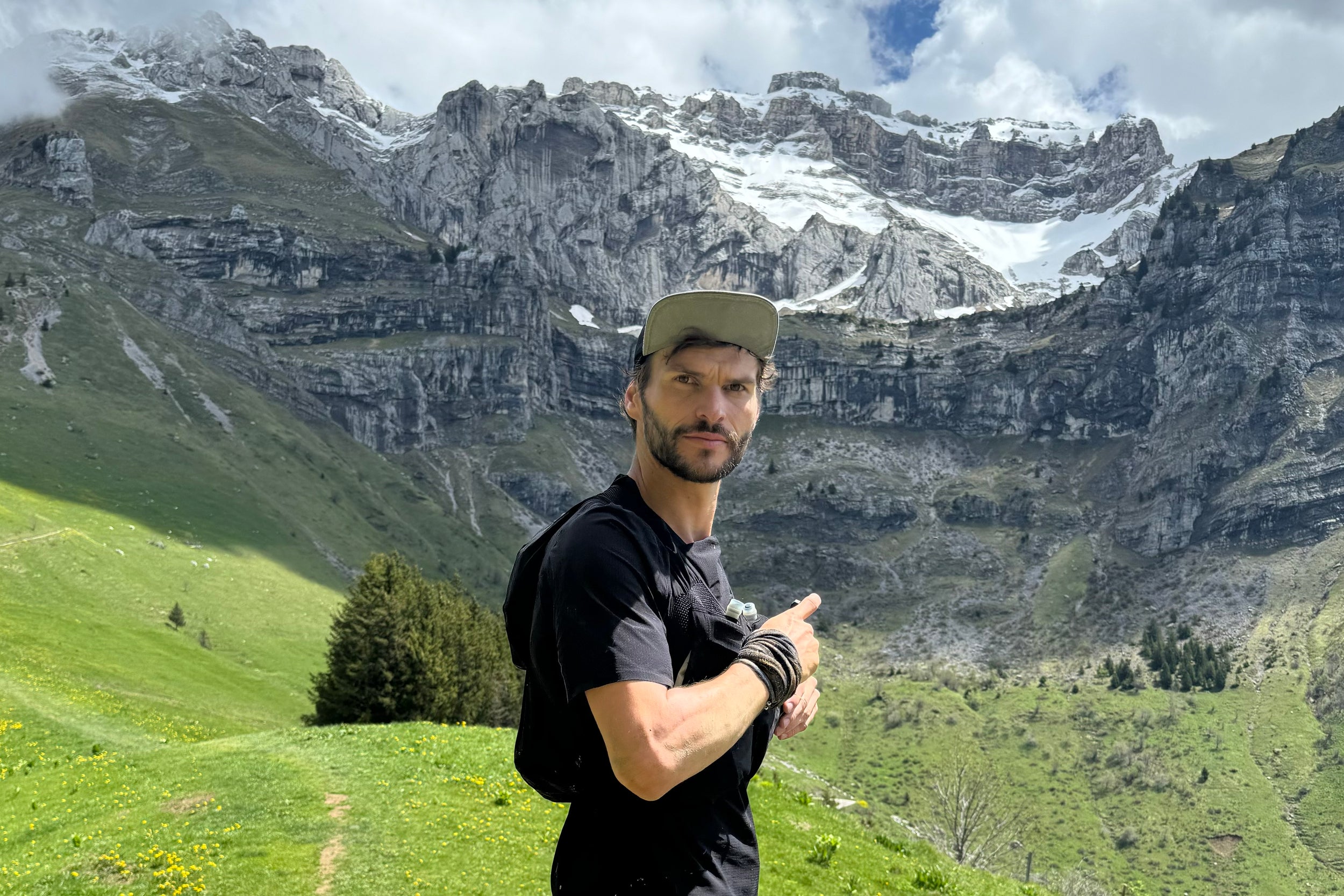
"It must be really cool to go around the lake via the peaks!" All the trail runners who have ever set foot in Annecy have imagined going "around the puddle" via the peaks. This was the case for Guillaume and Hugo who decided to put their words into action last May : https://www.instagram.com/reel/C7RwJnPNymQ/
A simple loop to put down on paper but immediately less easy once you get to the trails. 80 km and 5,000D+ is not nothing. You have to prepare for it. Physically, but also mentally. Because the conditions can quickly transform a beautiful hike into a real construction site! (Hugo and Guillaume will not tell you otherwise, some trails have become real mud fields 😱).
There is an official and marked route "GRP Tour du Lac d'Annecy" of 95km and 6000D+: https://www.savoie-mont-blanc.com/randonnees-et-balades/tour-du-lac-dannecy-grp-6-jours-196151/ It is a good base but it cuts one of the most beautiful portions of the eastern part and goes down very south into the Bauges massif. It is therefore always interesting to take time on the maps in order to adjust the route to create a route that suits us 🗺️.
And the route that resembles Guillaume and Hugo may suit many of you and we detail it here 📝
Section 1: Annecy - Bluffy
17 km - 1,000D+ - 800D-
For a loop you need a starting and finishing point that makes sense: Annecy train station is perfect. You can start off at a leisurely pace with a bit of sightseeing in the old town of Annecy. You follow the path of the canals to the lake. You go around the Jardin de l'Europe, cross the Pâquier, go around the Imperial Casino before reaching Albigny beach and the small port of Annecy le Vieux. End of the warm-up. After 4 km and 0 meters of elevation gain, it's time to start climbing. ( 🚰 Water point in front of the Tennis car park)
First ascent: Mont Veyrier. Iconic Annecy summit whose trails are sanded by all the local runners 🏃♀️🏃♂️. So we are not alone in following the climb to Pré Vernet where the famous and unmissable "ball tree" is located 🌲 (we don't all have the Eiffel Tower...). And hop already 500D+ in 2km! (A little clarification for the angry ones looking for Kudos, know that Rémi Bonnet holds the KOM in 15 min 08 so no need to burn yourself out here 😉)
We continue to the Col des Sauts located 720 meters above the lake. First fracture of the retina with a plunging view of the turquoise waters of the lake 🤩. Direction the summit of Mont Baron (1299 m) then the old cable car platform via the ridge path which is very technical in places and offers superb views of the lake and the Bauges. The descent is steep and stony with a small cable section. We take it easy to reach the Col des Contrebandiers and its small car park. We can finally lengthen our stride on a short portion of asphalt and thus join the path which goes around Mont Baret towards the Col de Bluffy. It is a beautiful descent in the shade and therefore often very wet or even muddy. ( 🚰 Source on the left of the path at the level of the first houses of the hamlet of Pénoz)
As you reach the town hall of Bluffy (🚰 in front of which there is a fountain) , you can see the magnificent castle of Menthon-St-Bernard 🏰 . A castle which, it is said, inspired Walt Disney to imagine that of Sleeping Beauty (and hop a fun fact to throw out at the table).
Section 2: Bluffy - Doussard
23 km - 1,400D+ - 1,550D-
It is in Bluffy that several options are available to us for the rest: either the variant of the GRP Tour du lac d'Annecy which takes a big, very difficult forest track, or the "classic" route in the undergrowth. We obviously opt for the 3rd solution via the Col des Frêtes. A beautiful climb of 700D+ over less than 3 km which allows us to reach one of the most beautiful viewpoints on the lake from the paragliding departure point of Ponnay. A good exercise in "small KV" mode with percentages of 33% on average over 1.4 km 🥵. We stick hard and push hard on the legs. But up there the reward is beautiful with a sublime spot under the impressive cliffs of the southern tip of the Dents de Lanfon 😍
We reach the Aulp Riant mountain pastures in a beautiful "mountain" atmosphere. We are dominated by the west face of Pointe de Talamarche where many chamois hide🐐. We continue to Roc Lancrenaz, the second highest point of our journey at 1667 meters above sea level. From here we are faced with the impressive and massive Tournette, the highest peak of Lake Annecy with its 2350 meters above sea level.
The start of the descent from Pas de l'Aulp is very steep and technical with a small cable to secure 10 meters. Small portion not very pleasant for people prone to vertigo. We then reach the Col des Nantets (1426) then the Chalet des Crottes (1335) ( 🚰 Small pool with spring just before this one. Be careful not to take the water if a herd is present)
We gently go back up towards the Chalet de l'Aulp ( 🚰 Toilets and taps open in high season) passing through beautiful valleys in which you can see many ibex in spring 🐐. So be attentive and curious so as not to miss them. The Chalet de l'Aulp is an alpine chalet and a restaurant open in summer which offers Savoyard classics (don't arrive here hungry 🤤). We continue due south on the beautiful playful path which connects the Rocher du Roux and the Pointe de la Rochette before reaching the famous Col de la Forclaz and its iconic paragliding departure 🪂. ( 🚰 Toilets and taps in the toilets behind the Adrenaline chalet ") (Presence of restaurants and snacks)
We don't have any sails so the descent to Doussard will be via the superb single track that takes us to the hamlet of Verthier. 4.5 km of bliss! ⚠️ But be careful not to push too hard in this section because there is still a long way to go!
Short break of about 3km of slightly uphill tarmac to reach Lathuile. Here we are at the other end of the lake, to the far south. 40km and 2,400D+ on the watch. Half.
For those who plan to do the tour in 2 days, this is the perfect spot for a stop. For those who, like Guillaume and Hugo, want to do the loop in one go, it's time to refill their water bottles in front of the church and tackle the 2nd part , which is divided like this: small climb, short descent, medium climb, medium descent, big climb, long descent. Don't look for a flat section, there isn't one.
Section 3: Doussard – Leschaux
18 km - 1,500D+ - 1,050D-
The second half therefore begins with a nice climb in the undergrowth which allows us to reach the Taillefer ridges after around 2km and 400D+.
Instant cheat: For those who are starting to feel tired, follow the signs for "Entrevernes" then climb towards the Col de la Cochette. This will allow you to gain 3 km and 300D+. There are no small gains when you are knackered 😉!
For the others, we continue the walk to the charming hamlet of "Maisons". From there, we start climbing the Montagne d'Entrevernes. A fairly confidential spot around Lake Annecy but which offers beautiful views of the lake if you remember to turn around from time to time. Don't hesitate to make a short round trip to its well-marked summit. It will take you 1 minute and to put your hands a little. This is where the slope becomes descending and we reach the Col de la Cochette (where we find the cheaters 😅).
We go down to St-Eustache ( 🚰 WC and taps to the right of the town hall and taps behind the town hall to the left of the cemetery) via an alternation of small single tracks, forest paths, poorly marked paths and a final tarmac section. This is a bit of a confusing section where it is interesting to check the track regularly so as not to make a mistake. Well, at worst you will end up in a hamlet and you will follow the road. We are not in the desert either.
Section 4: Leschaux - Annecy
21 km - 800D+ - 1,300D-
We continue with probably the most monotonous part of the route (it can't be incredible everywhere) which goes up to the hamlet of La Touvière and Leschaux. This is where our 5th and final climb begins ( some would say 6th if we count the small climb from the Crottes chalet to the Chalet de l'Aulp at km 27). We push on our legs and poles with what we have left of juice. We see the bottom of the Semnoz ski slopes and these ski lifts which take us up to the Crêt de Châtillon, the highest point of the Tour de la Flaque with its 1702 meters of altitude!
Unlike Hugo and Guillaume, make sure you are up there at the right time because the 360-degree panorama is magical 🤩: Semnoz Alps, Mont Blanc, Tournette, Jura, Lake Bourget, Aravis, Chartreuse, Vanoise… It's all there. ( 🚰 Be careful, there are no water points up there. Only 2 restaurants are open in season but you have to drink to get water)
After having enjoyed the show, it is time to destroy what remains of your quads by tackling the 14 km and 1,400D- of descent that await us. A long and gentle descent which, if you have taken good care of your legs during the journey, will give you a good big last moment of happiness running on these playful trails.
Several small openings in the woods offer us pretty views of the lake. The lake is getting closer, the end is near. We reach the shores of the lake at the Marquisats beach. Team "let's take a dip to celebrate 🏊" or "let's sprint the last km to reach the old town and quickly get a carbohydrate recharge with pizza / soda / ice cream 🍔🍕🍩🍦🧋 " or both?
We reach the station. 79 km and 4,700D+ (if you didn't get lost during the outing). The loop is complete. It's now time to go put your legs in the air and rest, telling yourself that "it was still nice to go around the lake via the peaks!" 👌.
Practical Advice
This loop is described in a clockwise direction. It is obviously possible to do it in the other direction, for example by following the Maxi Race trail. This is actually what I recommend. It allows you to start "gently" with the climb of the Semnoz, long but very gradual. But above all it allows you to finish in style with the eastern part, more beautiful and offering more viewpoints. But this one is also more technical and with fatigue the pleasure can be diminished. It's up to you to choose.
- Equipment : …
- Supplies : Possible in the villages of Talloires, Doussard, Leschaux, and Menthon-Saint-Bernard, but some sections require you to be self-sufficient.
- Weather : Conditions at altitude can be unpredictable. Check the weather forecast before departure and be prepared for temperature variations that can be significant.
- Safety : Demanding course with technical sections, especially the descents which can be slippery.
- Required level : Reserved for experienced trail runners. This course requires very good physical condition, mountain experience, and good effort management. Pay attention to the technical sections.
-
Alpine variations : Don't hesitate to make a short round trip to the Pointe de Talamarche (+ 2km and 220 D+ - 220 D-). It is a superb summit slightly set back and which will offer you an incredible 360 view with Mont Blanc in your sights.
For the more athletic and if conditions allow, adding the ascent of the Tournette is also possible by going up the classic path from the Chalet de l'Aulp then going back down via the Col des Frêtes to reach Montmin ( 🚰 Fountain in front of the church) before going back up to the Col de la Forclaz (+8km and 1000D+ - 1000D-)
-
Accommodation : If you want to do the tour in several stages, there are several accommodations on or near the route. Some addresses in order:
- VTF Les Alerions Holiday Village: 496 Rte de Bluffy, 74290 Talloires-Montmin: http://www.lesalerions.org/
- Restaurant Gîte de Pontgibaud: 255 Rte de Saury, 74210 Lathuile: http://www.gitedepontgibaud.com/
- La Biolette Nature Lodge: La Biolette, 74320 Leschaux: http://www.biolette.com/
The mountains can present significant dangers for the uninitiated. Weather conditions can change quickly, making trails impassable and some areas potentially dangerous. To ensure a safe experience, it is essential to seek advice from professionals, whether for advice on local conditions or for supervision during your outings. Their expertise is essential to minimize risks and fully enjoy the mountains with complete peace of mind.
Joris Tripier-Mondancin
Born in Voiron at the foot of the Chartreuse massif, I also spent 9 years in Paris as an artistic director in an advertising agency. I then left the Butte Montmartre to return to my native mountains. I am now based in Annecy where I am a mountain guide. For the past 5 years, I have created and supervised numerous trail courses and stays for Trails in France , a travel agency specializing in trail running. I also supervise a few treks in Vanoise and Dévoluy, for the Chilowé agency . You can find my stay dates on my website marcheoutrail.fr (yes I know the site is not up to date at all but it is in my fall/winter to do list 🤞 )


